
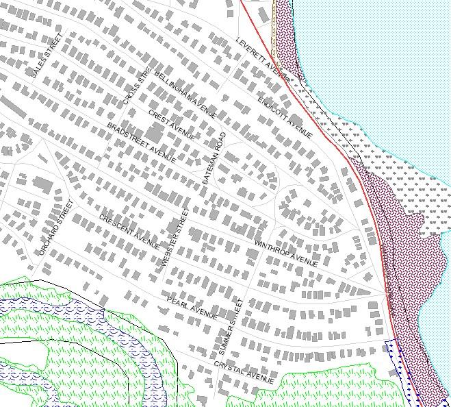
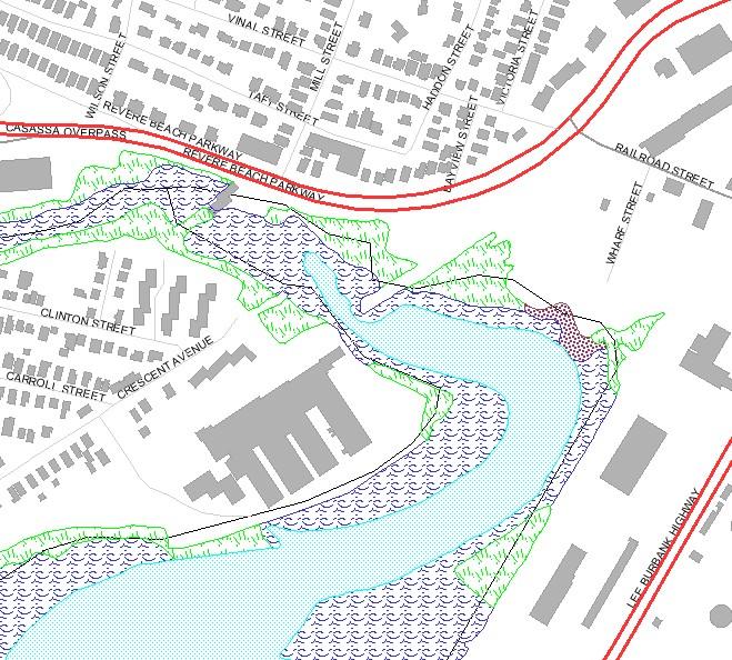
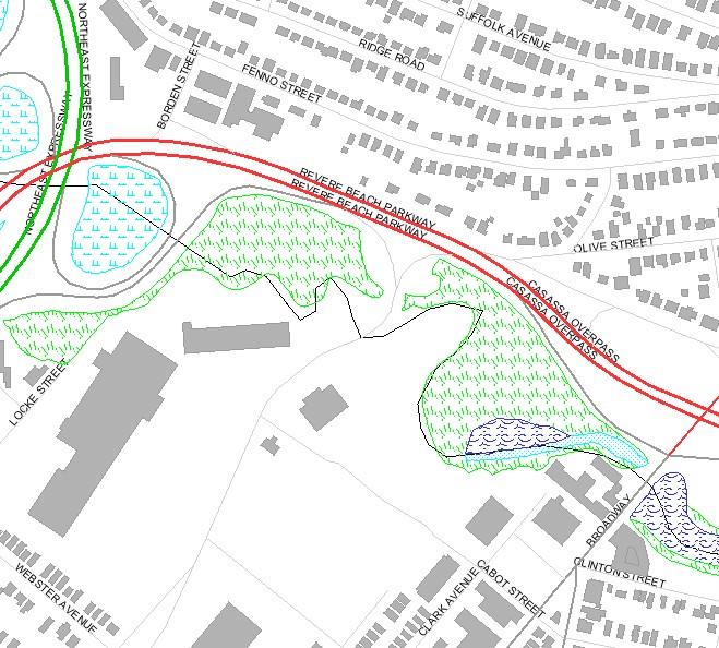
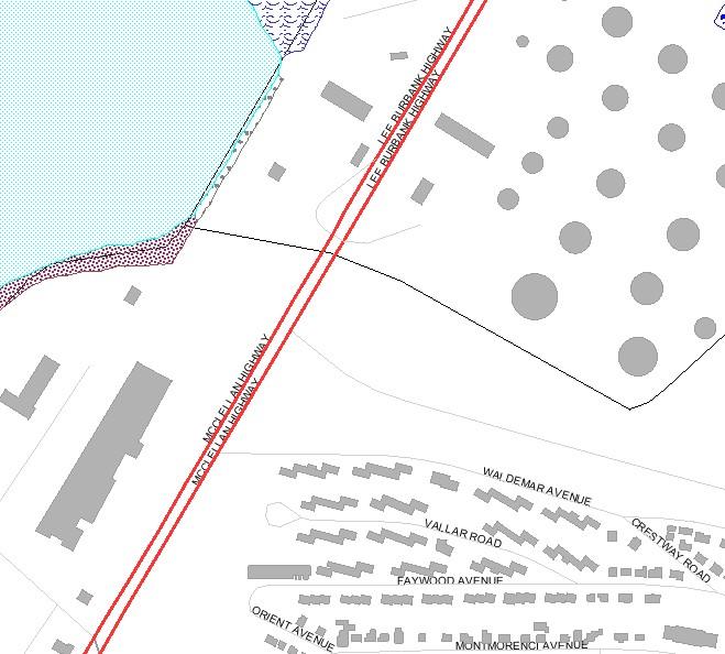
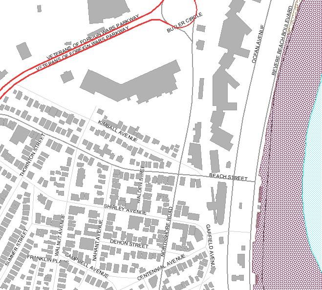
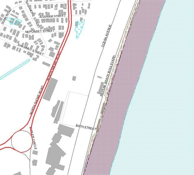
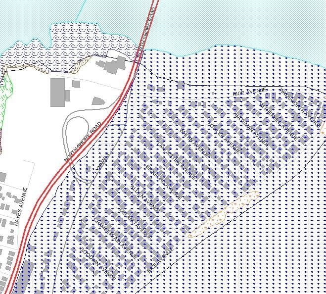
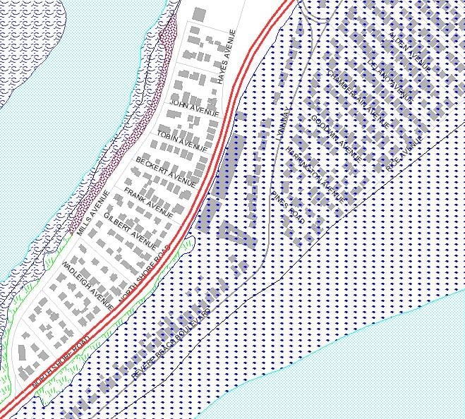
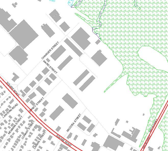
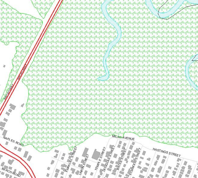
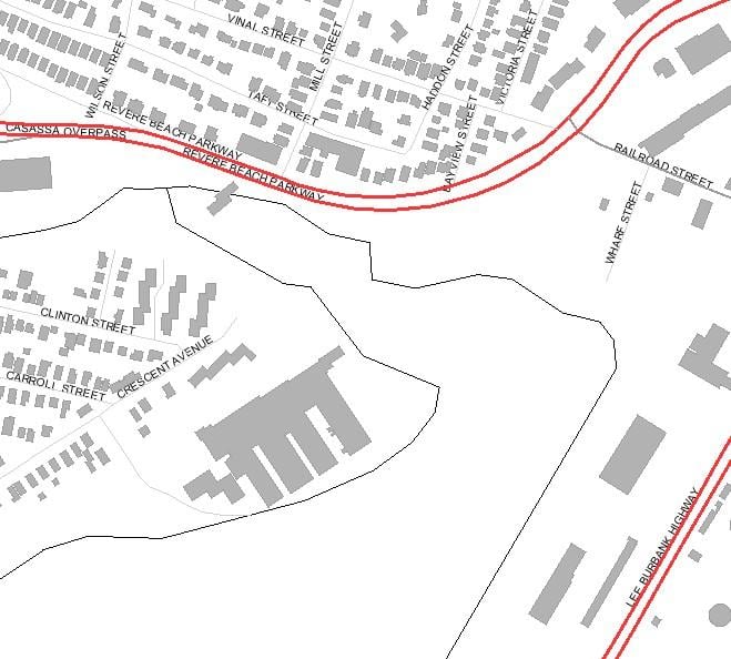
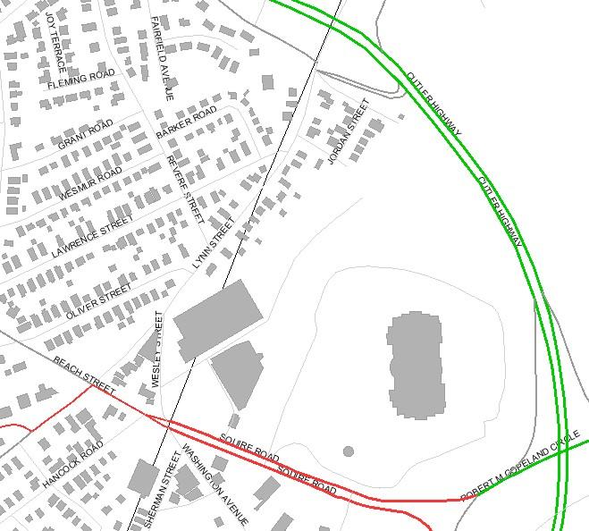
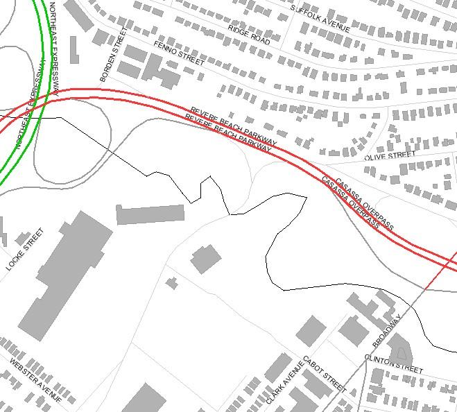
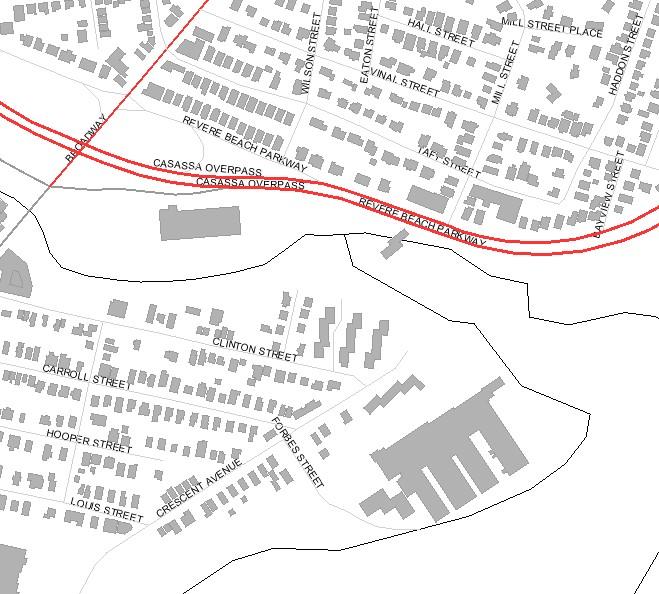
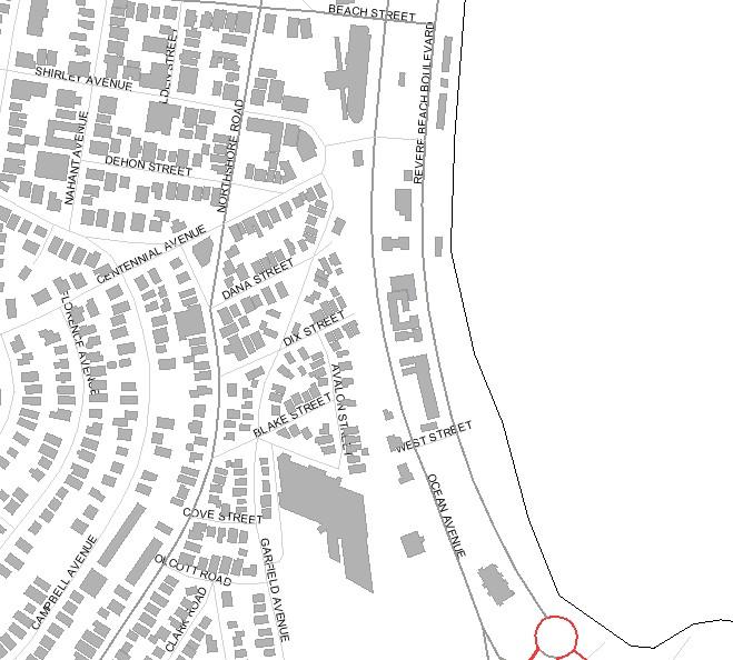
Wetland Resource Maps, Locus Maps and Topographic Maps
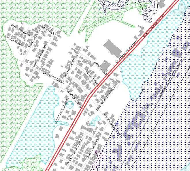
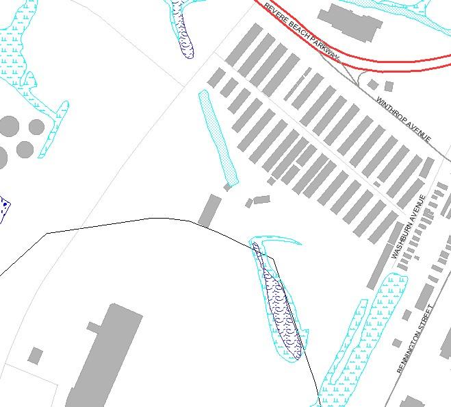
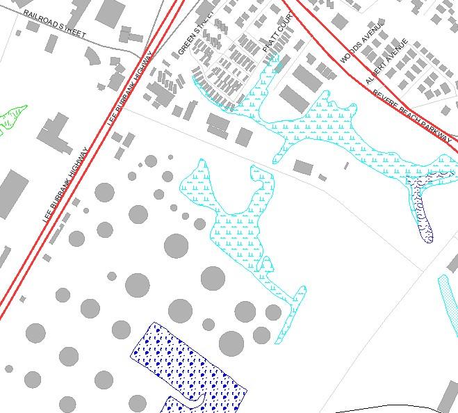
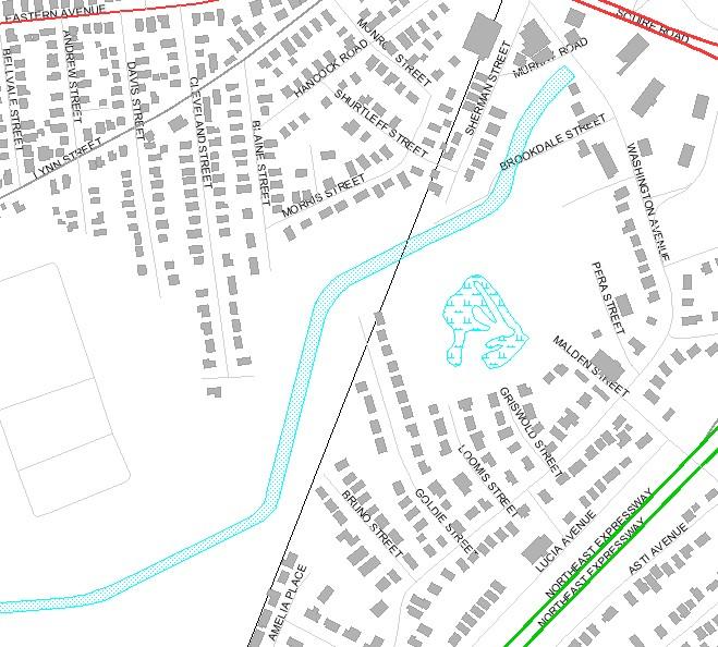
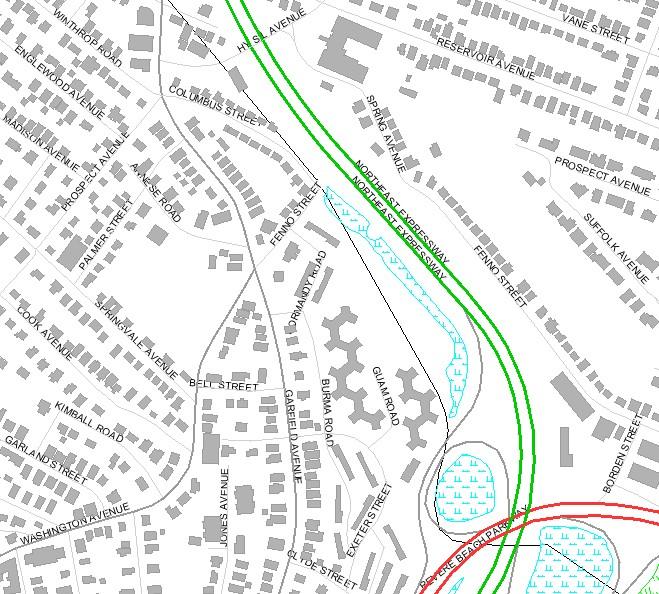
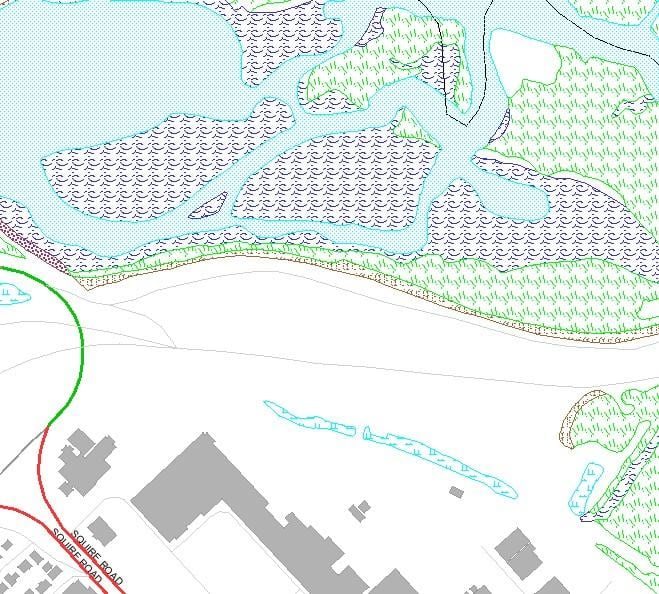
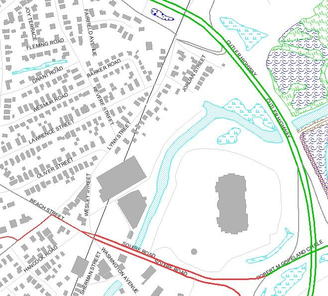
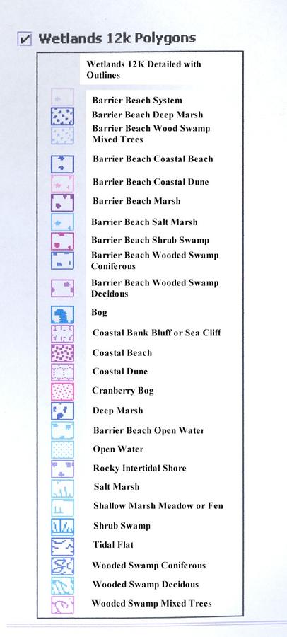
Wetland Resource Area Maps
(scale 1"=100m)
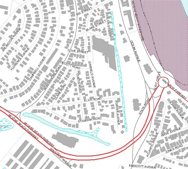

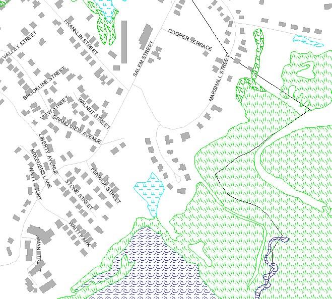
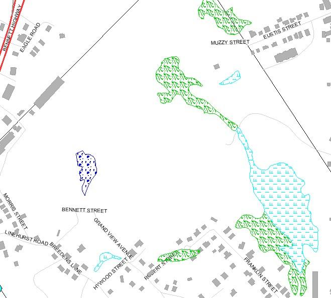
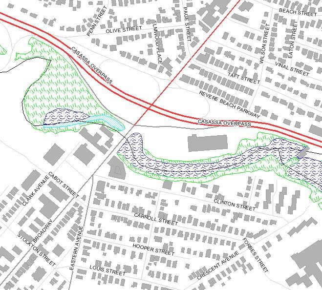
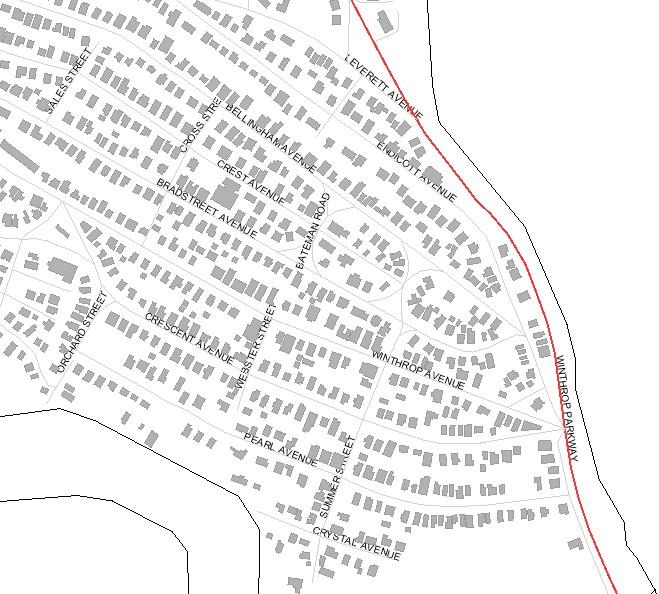
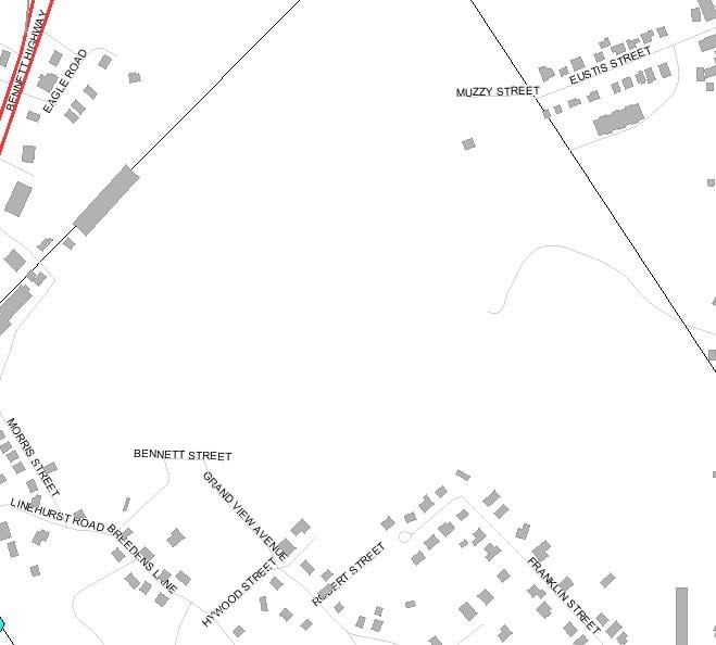
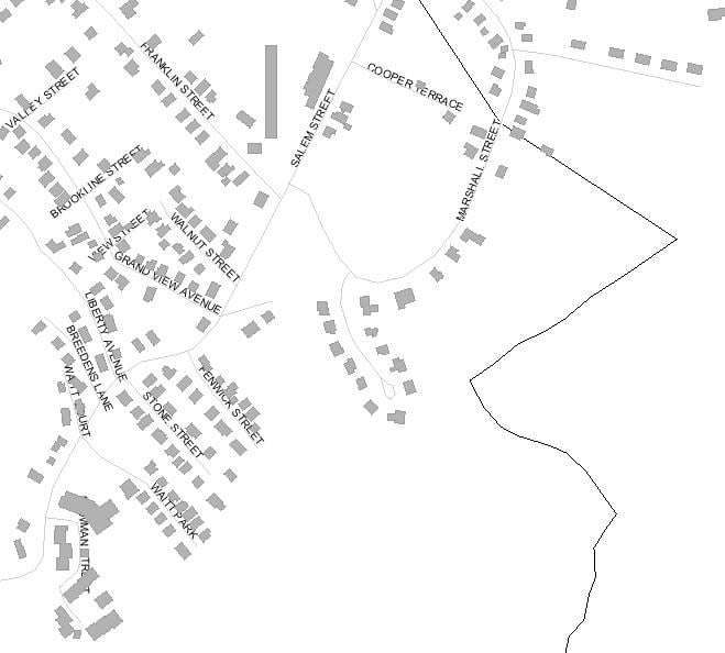
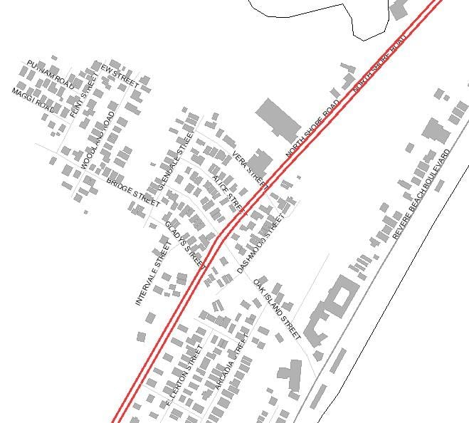
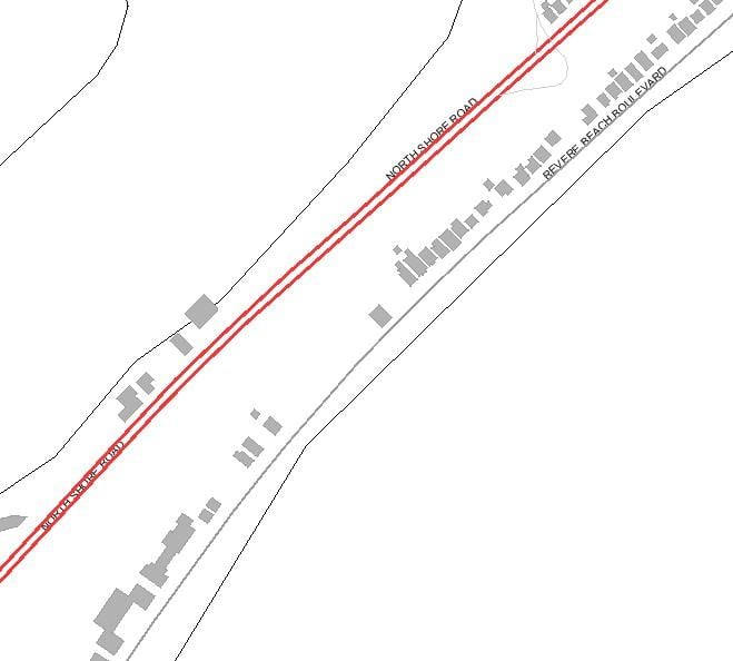
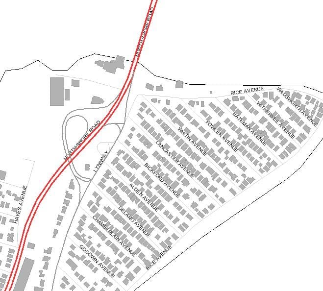
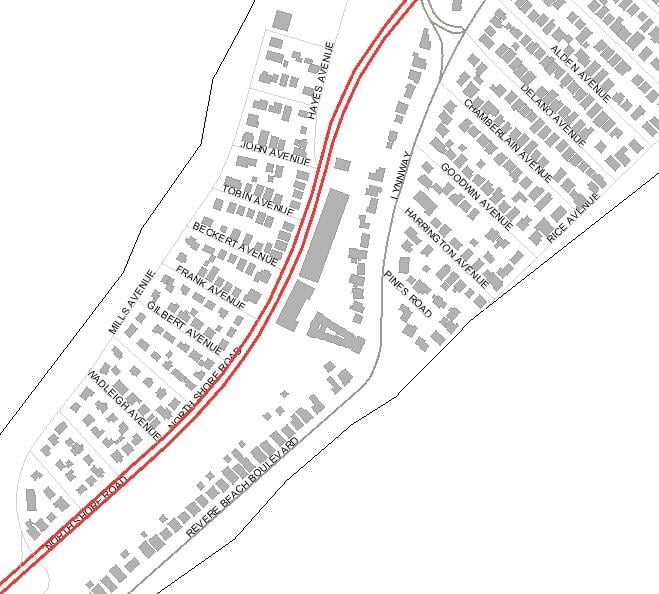
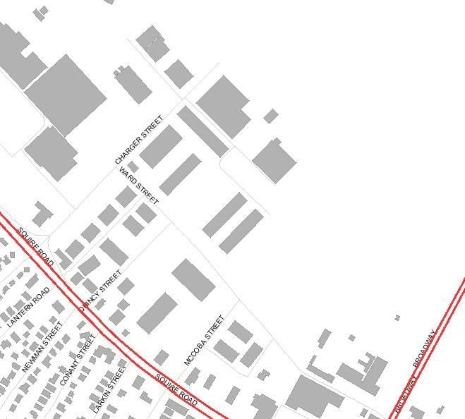
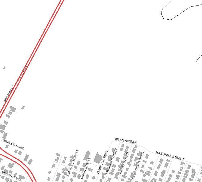
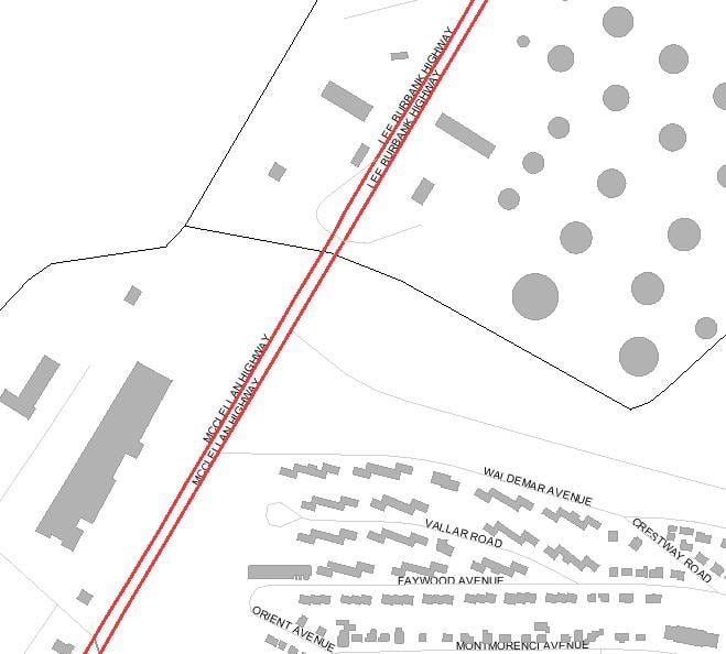
Locus Maps
(scale 1"=200m)
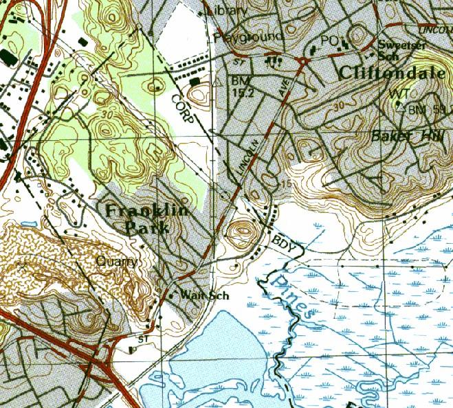
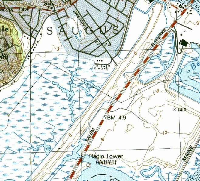
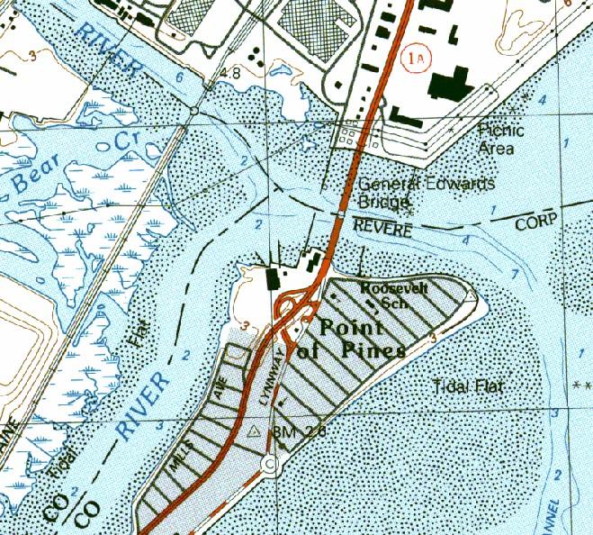
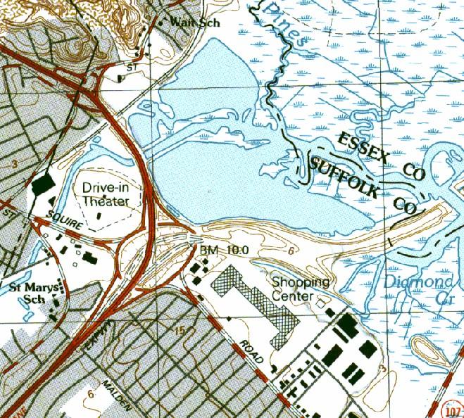
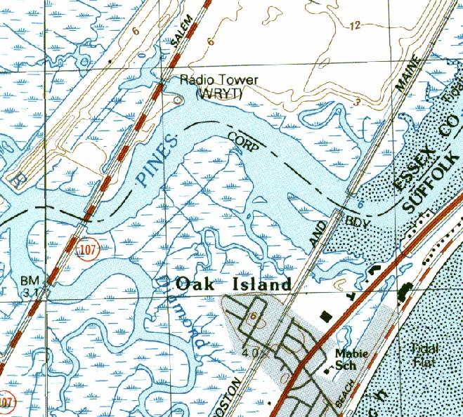
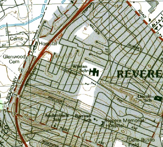
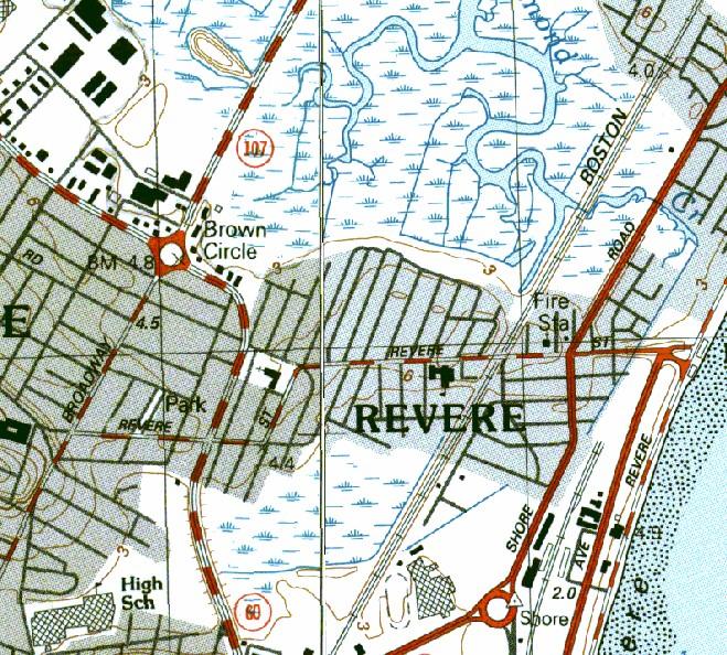
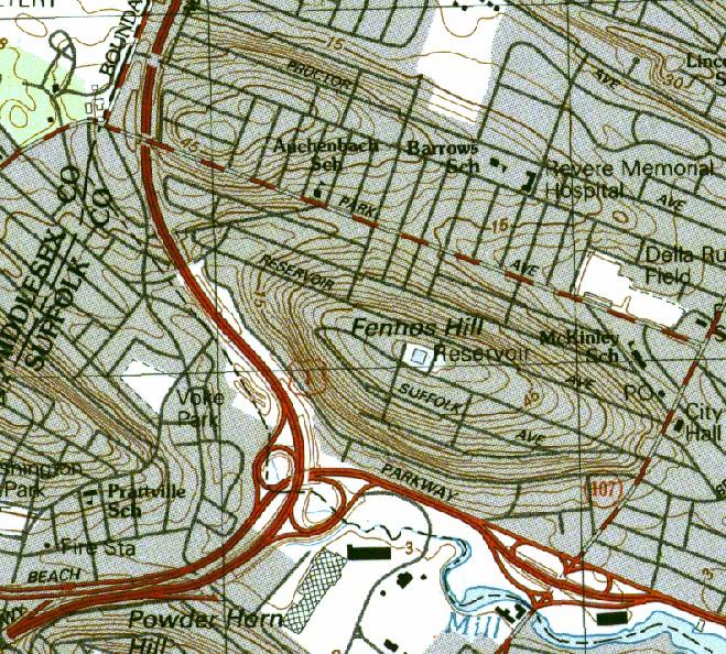
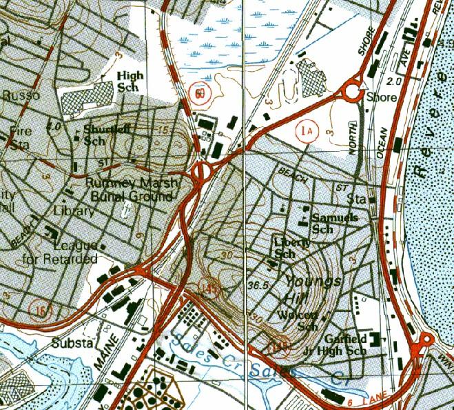
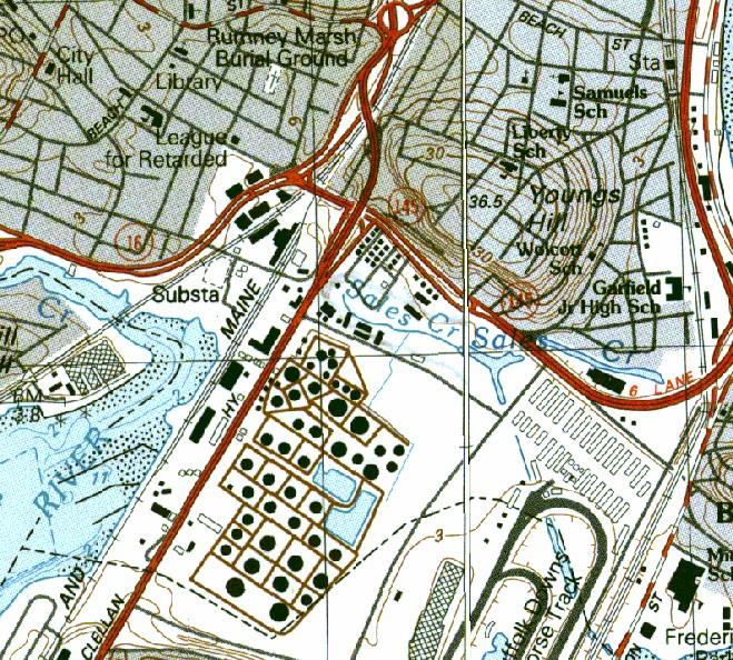
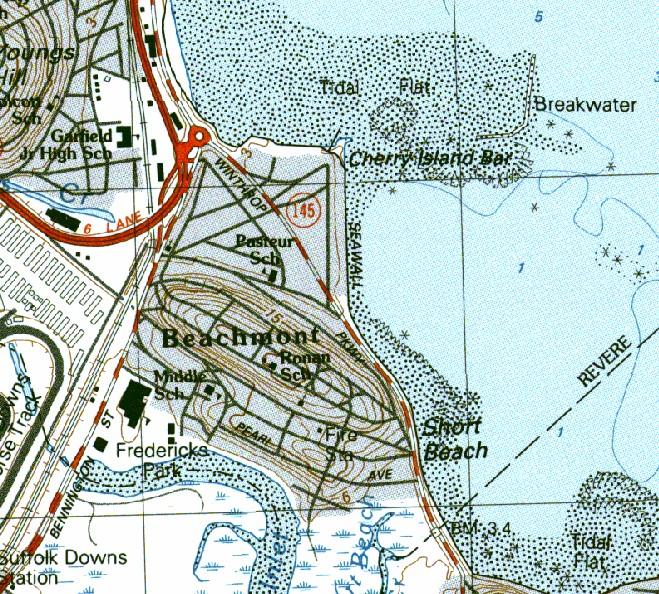
USGS Topographic Maps
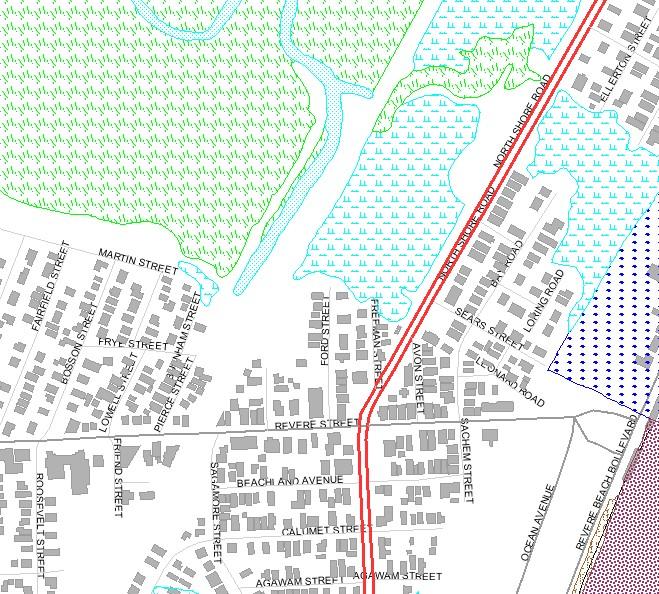
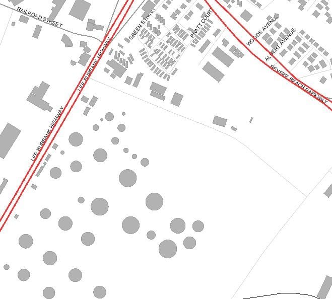
Natural Heritage Endangered Species Program
Priority Habitats and Estimated Habitat
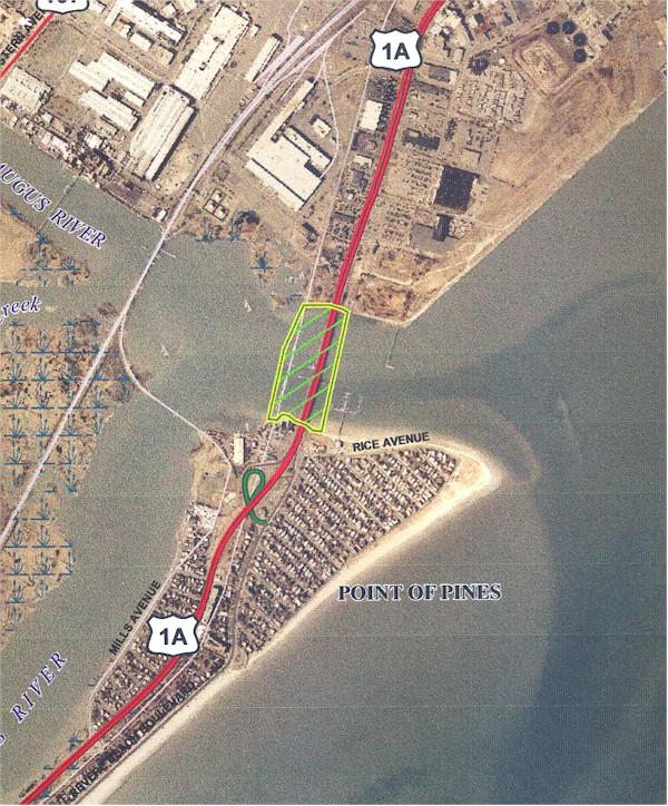
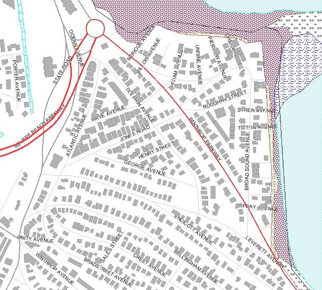
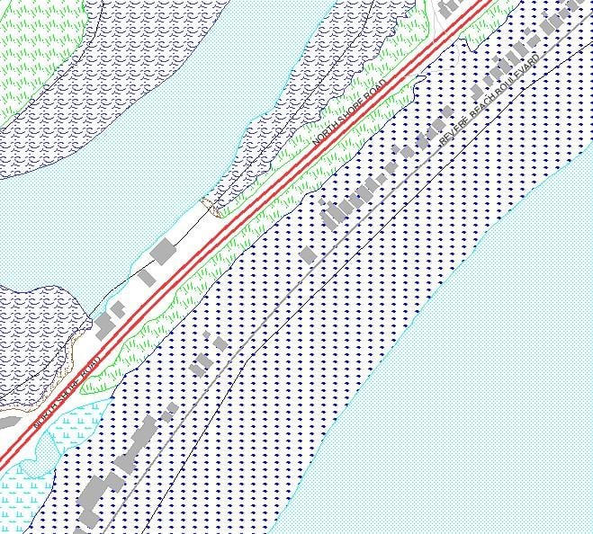
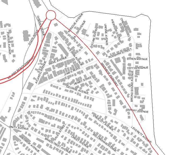
There is only one area in Revere that is listed by the NHESP and that is at the mouth of the Pines River. This area is a Priority Habitat of Rare Species and also an Estimated Habitat of a Rare Species.
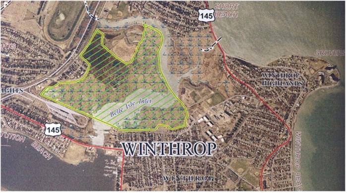
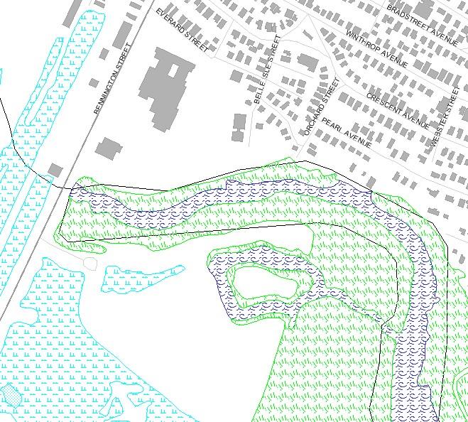
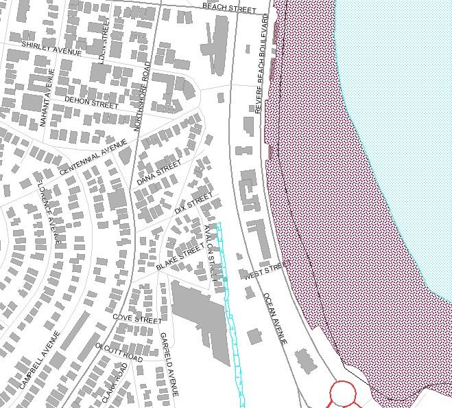
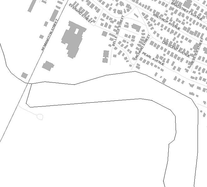
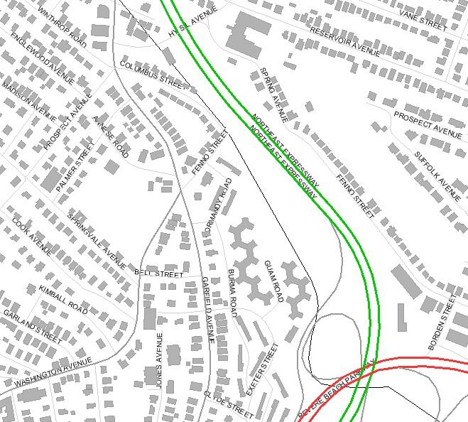
The map of the area shown above is the Belle Isle Marsh in East Boston just on the Boston side of the municipal boundary, the center line of Belle Isle Inlet. It is also a Priority Habitat of Rare Species and also an Estimated Habitat of a Rare Species.