
Ongoing Projects
Gibson Park Resiliency & Recreation Project
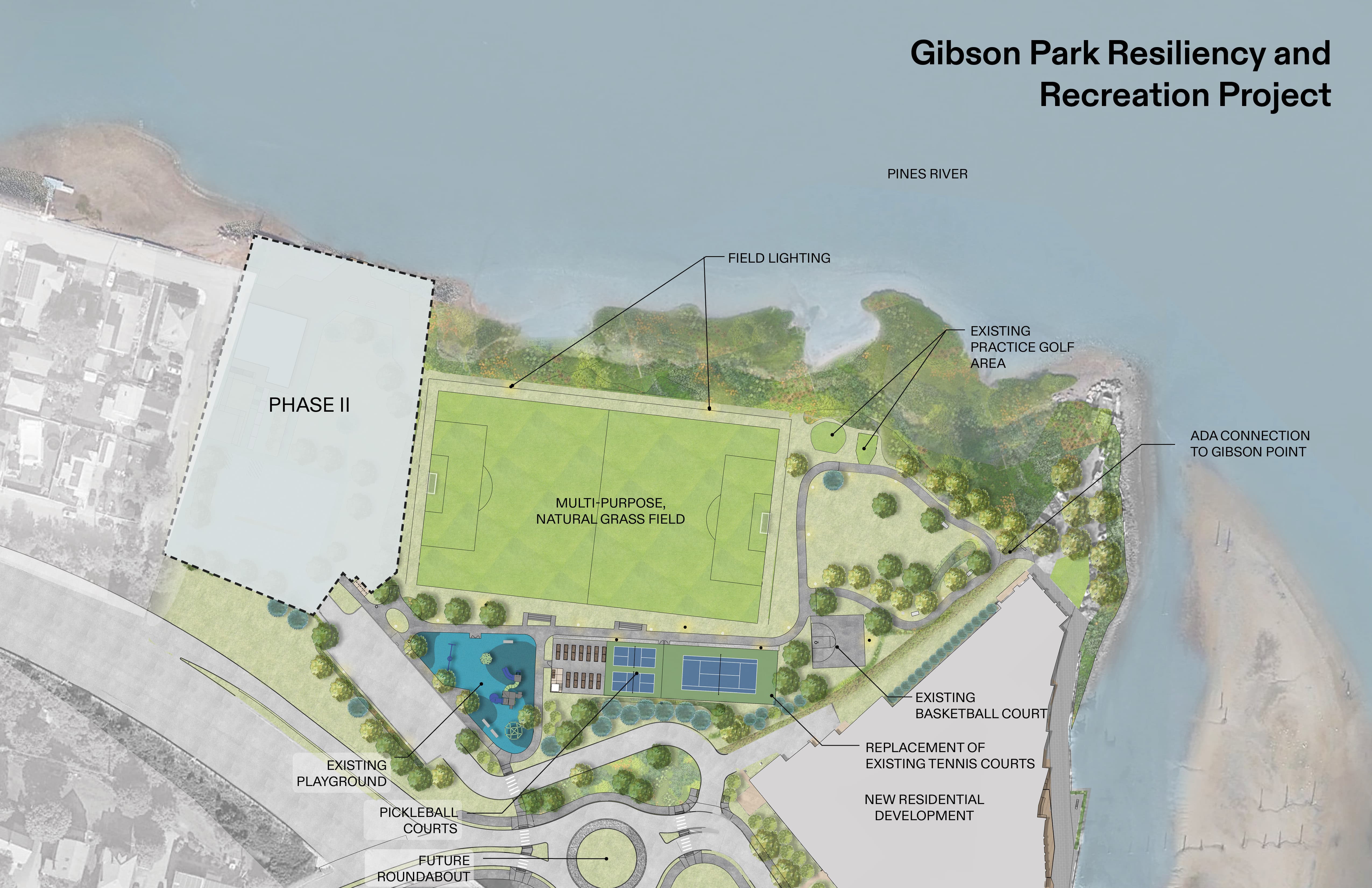
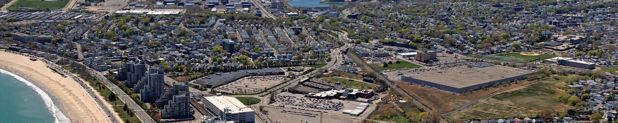
The City of Revere has undertaken a significant redevelopment project to reduce current and future threats from flooding and sea level rise in your Riverside Neighborhood. The Gibson Park Resiliency Project is aimed at providing nature-based resiliency measures to an area that has historically faced both tidal and storm flooding events. Beginning in 2020 with RiverFront Masterplan, the City has been working to reduce risk and redevelop the area around Gibson Park and Mills Avenue Neighborhood to improve resiliency and recreational opportunity. Specifically, the project produced four goals for the project: creating resiliency, serving the community, addressing historic high tide flooding, and cleaning up the environment. Future Project information and developments, including public meetings will be posted to the City Department of Planning and Community Development's website here. Questions can be addressed to Elle Baker.
MEPA
MEPA: EEA NO.:16711
The project consists of the redevelopment of Gibson Park into an up-to-date multi-program recreational facility incorporating nature-based interventions to protect the Riverside Neighborhood from current and future threats from flooding and sea level rise. Additionally, work along Mills Avenue includes the installation of a nature-based berm, updating the municipal storm water system, and use of a pump station/sub-grade storm water storage holding .
The DEIR can be viewed through the MEPA Environmental Monitor by clicking on ‘Attachments’ for the corresponding project: https://eeaonline.eea.state.ma.us/EEA/MEPA-eMonitor/home.
Please note that the Proponent has provided supplemental information in the form of a revised DEIR. The revised DEIR, including the narrative and the appendices is available via the dropbox link below:
https://www.dropbox.com/scl/fo/5qdcltv93dr8is1b72zqv/h?rlkey=yc21q3sfruvmag6sr8tl0j413&dl=0.
Public Art Commission
Art Opportunity - Crafty Seat RFP