
Documentation
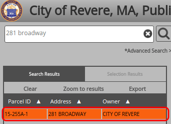
How can I find a property on the GIS?
- Enter an address (e.g. "281 Broadway"), owner name (e.g. "Smith"), or parcel ID (e.g. "15-255A-1") into the search bar
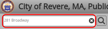
- Press the search button (magnifying glass) or the Enter key to view the results
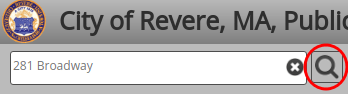
- The results will be shown in the "Search Results" section below the search bar
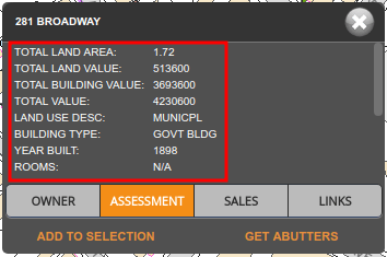
How can I use GIS to figure out information about a property, such as assessed value?

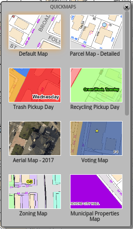
How can I use GIS to determine information such as trash or recycling pickup, street cleaning days, or where I vote?
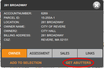
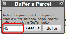
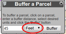
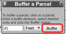
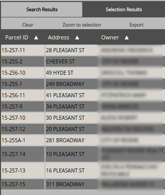
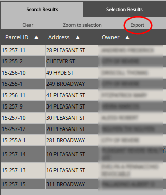
How can I pull a list of abutters?
How can I mail merge a list of abutters?
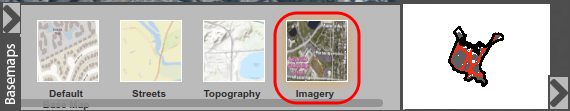
How can I see satellite maps of properties?

What do I do if I think GIS information is incorrect?
What do the FEMA Floodzone codes mean?
Send us Feedback
Contact us if you have questions or suggestions about using Revere GIS.