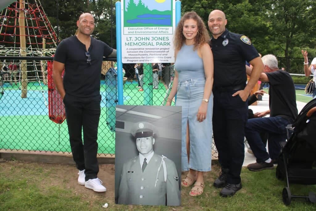
Ongoing & Completed Projects
The City of Revere has completed and is actively working on various planning projects and guides to shape its vision for the future. These projects, developed by the Department of Planning & Community Development, reflect the collaboration of the city's experienced planning team, along with input from municipal, regional, and state officials, nonprofits, local businesses, and community organizations. These efforts are instrumental in guiding Revere's growth and development.
Ongoing Projects
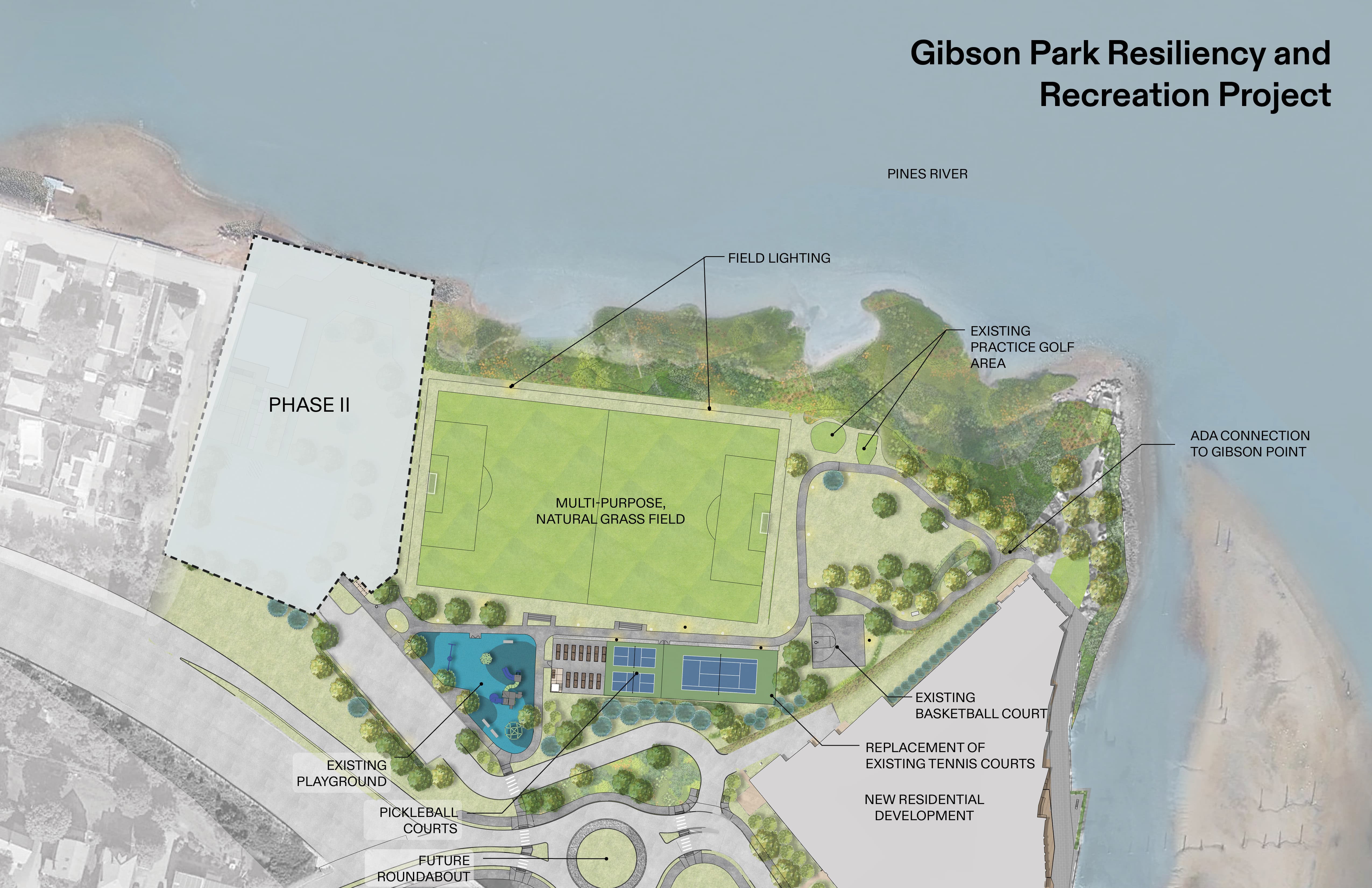
Gibson Park Resiliency & Recreation Project
Air Quality Monitoring System
Riverside Drainage Improvements
Curbside Compost Pilot
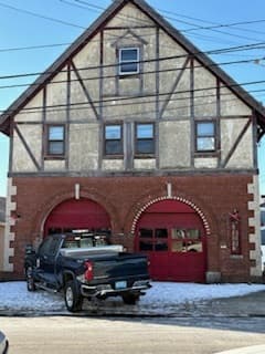
Beachmont Fire Station
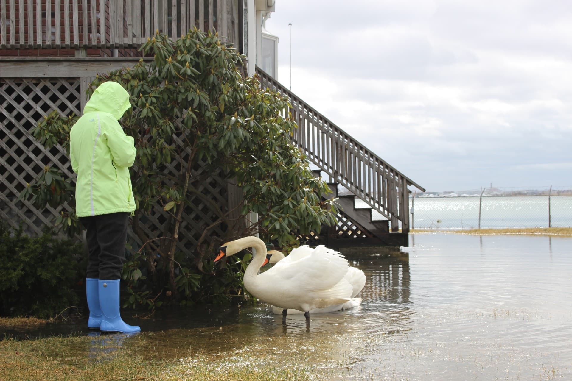
Resilient Bennington St & Fredericks Park, Boston/Revere
Revere Municipal Aggregation Plan (Revere Power Choice)
Saugus River Watershed
RT 1A Roundabout Project
Beachmont Residents Fringing Belle Isle Marsh
Community Gardens
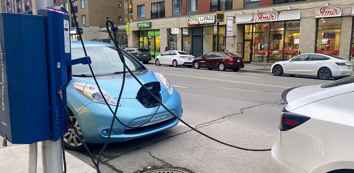
Massachusetts Clean Energy Center (MassCEC) On-Street Charging Solutions Program
Flaherty Square
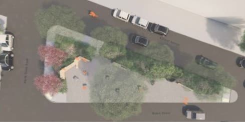
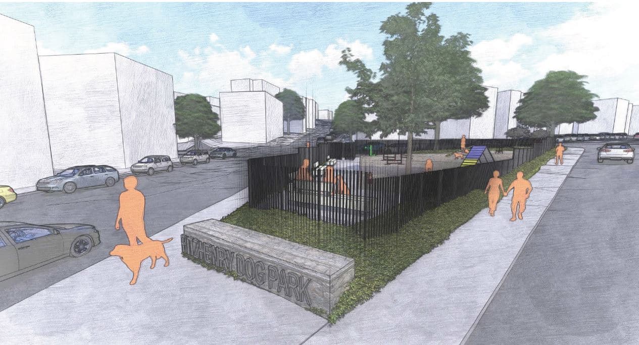
Fitzhenry Square Dog Park
Completed Projects
Hohonu Sensors
Washington Avenue Sidewalk

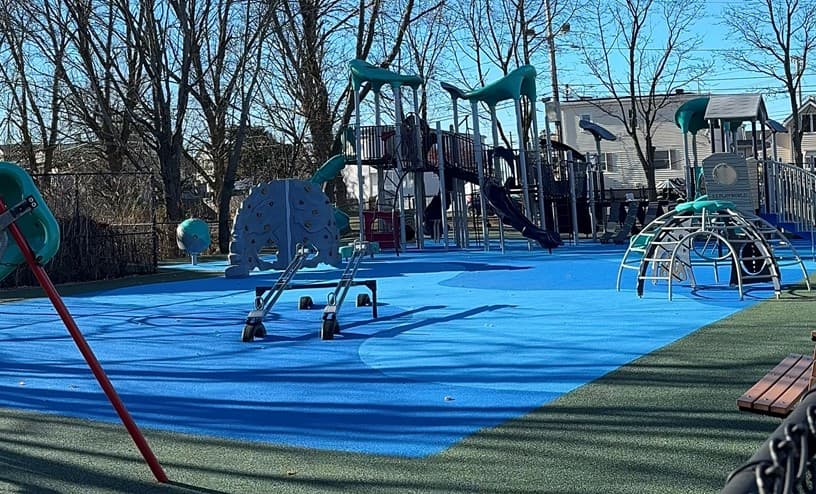
Rubber Surface Upgrades: Harmon, Gibson, Costa, Oak Island
Liberty Park Reconstruction
Beachmont Resilience Phase One
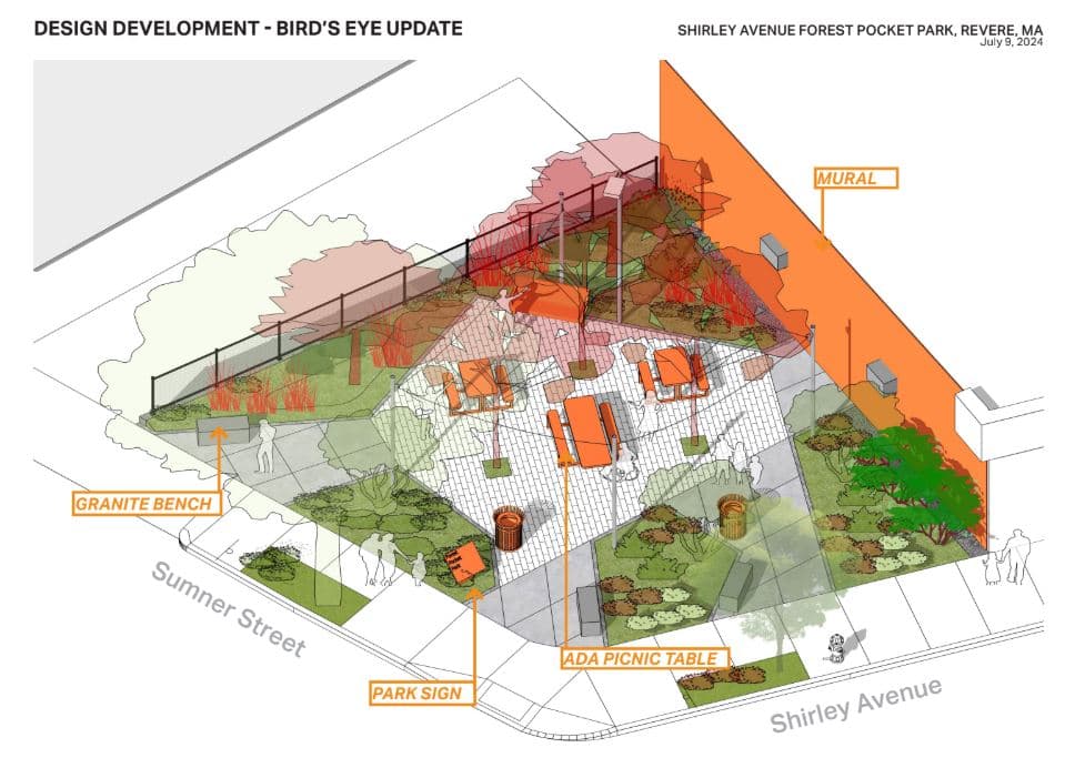
Shirley Ave Forest Pocket Park